Home > Solutions > Sustainable Fisheries Management

Sustainable Fisheries Management

For over 35 years, CLS has worked with the fishing sectors in vairous parts of the world, from fisheries authorities to private ship owners, regional organizations and fishermen.

We work daily to protect their activities and help them manage sustainable and responsible practices.

By constantly innovating and using the best available technologies, we provide important information that improves the sustainable management of the sector and enhances knowledge of fishing activities.

Discover

The Future of Marine Resources is Decided Today

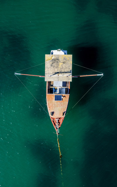
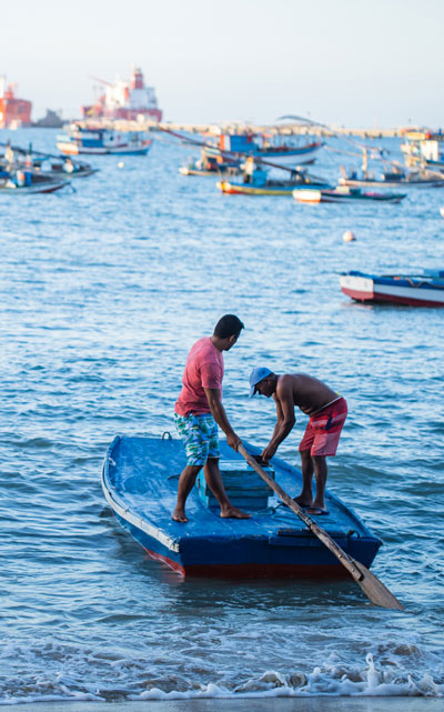
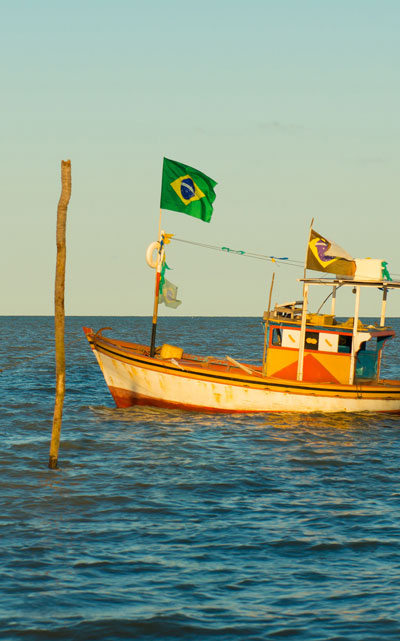
Brazil is a country of continental dimensions with an extensive coastline and great development potential in various sectors. One of these is the fishing activity, both industrial and artisanal, which is part of the culture of various regions, with practices passed down through generations.

The CLS group has proprietary technologies that can contribute to boosting fishing activities sustainably. Thus, CLS Brazil can help raise awareness in the Brazilian fishing sector. Using satellite data and the existing know-how within our group, our company can point out solutions to improve fisheries management while contributing to marine life conservation and environmental protection.

35+ years of experience in fishing solutions

triton beacon icon

16,000 industrial vessels monitored dayily worldwide

earth icon

A global network of resellers and subsidiaries

Discover our Solutions

Fisheries
Monitoring Centers

Fishing Fleets and Fleet Monitoring 

Intelligence Services: CATSAT

Marine
Ecosystem Modeling

Electronic Catch
Reporting Systems

Combating
Illegal Fishing

fishing boats in brazil

Fisheries Monitoring Systems

The CLS group has proprietary technologies capable of contributing to the sustainable development of fishing activities, operating in over 50 countries and regional organizations with the help of the THEMIS tool.

Thus, CLS Brazil can assist in raising awareness in the Brazilian fishing sector. Using satellite data and the expertise within our group, our company can identify solutions to improve fisheries management while contributing to marine life conservation and environmental protection.

several fishing boats

Monitoring Vessels and Fishing Boats

We help fishermen comply with global regulations by providing robust, marine-grade transponders. These devices ensure reliable and secure data transmission.

Our fishing vessel monitoring systems are tailored for all types of vessels, including industrial boats, pirogues, canoes, coastal boats, and other fishing equipment.

Currently, over 18,000 vessels worldwide are equipped with CLS VMS solutions, ensuring ideal compliance and safety.

Intelligence services

Intelligence Services: CATSAT

CATSAT is an onboard software package designed to help fishermen identify the best fishing locations using oceanographic correlations and their own knowledge. By using space oceanography and complex models developed by CLS, CATSAT enables users to make informed operational decisions and plan their trips. This helps reduce costs and impacts on the oceans, while also increasing selectivity in catch.

The software relies on the expertise of oceanographers and scientists specialized in fishing activities, biological and oceanographic phenomena, and marine ecosystem modeling experts. This combination of knowledge allows CATSAT to provide precise and effective tools for the sustainable management of marine resources.

Marine Ecosystem Modeling

Marine Ecosystem Modeling

In 2006, CLS launched the Marine Ecosystem Modeling and Satellite Monitoring (MEMMS) activity to create tools, products and applications at the interface between operational oceanography and users, whether academic, institutional or private.

This initiative is based on the development of SEAPODYM, an innovative ocean ecosystem model. A key component of SEAPODYM is the representation of micronekton, small marine organisms that serve as prey for large oceanic predators, and as predators of the eggs and larvae of pelagic species. The model predicts the production and biomass of six functional groups of micronekton between the surface and 1000 m depth, as well as an additional group representing zooplankton, larval food.

By combining these biological variables with physical variables such as temperature, currents and dissolved oxygen, we are able to model and predict for a given species:

  • Spawning habitat
  • Larval density index
  • Feeding habitat
  • Concentration zones and migration corridors
  • Hot spots offering persistent favorable conditions

This critical information is essential for sustainable fisheries management and marine resources conservation.

Electronic Catch Reporting Systems

Electronic Catch Reporting Systems

Electronic catch communication (ERS) improves fisheries management by providing rapid monitoring and accurate stock assessment, thus facilitating sustainable marine resource management. Electronic logbooks are essential for this monitoring.

CLS provides fishermen with applications and tags to comply with ERS standards, enabling the sending of electronic fishing reports, the storage and transmission of fishing data (landings, catch locations, etc.), and reliable ERS indicators.

Fighting IUU

Fighting Illegal Fishing

Illegal fishing represents a threat to the sustainability of oceans. To combat this issue, CLS combines and processes AIS and VMS data from databases, as well as radar and optical satellite imagery from multiple operators, to quickly identify suspicious vessel behavior.

This information is then made available on our decision-support platforms and in our fishing monitoring centers, facilitating proactive and effective marine resource management.

EASY4MSG: Low-Cost Satellite Communication App

Ensure connectivity and effective team management in remote locations.

Talk to CLS Brasil

CLS Brasil’s teams, specialists in satellite data monitoring, are available to make any of your projects a success.

Our Other Activities

Maritime surveillance

Energies and Infrastructures Monitoring

Mobility

Environmental and Climate Monitoring